A scientific team with Physics and Engineering professionals is working on the creation of a mathematical model to support the efficient planning of actions carried out in the field to prevent erosion after a forest fire, to establish the areas on which to act as a priority and the most appropriate measures to implement to ensure the recovery of the affected areas.
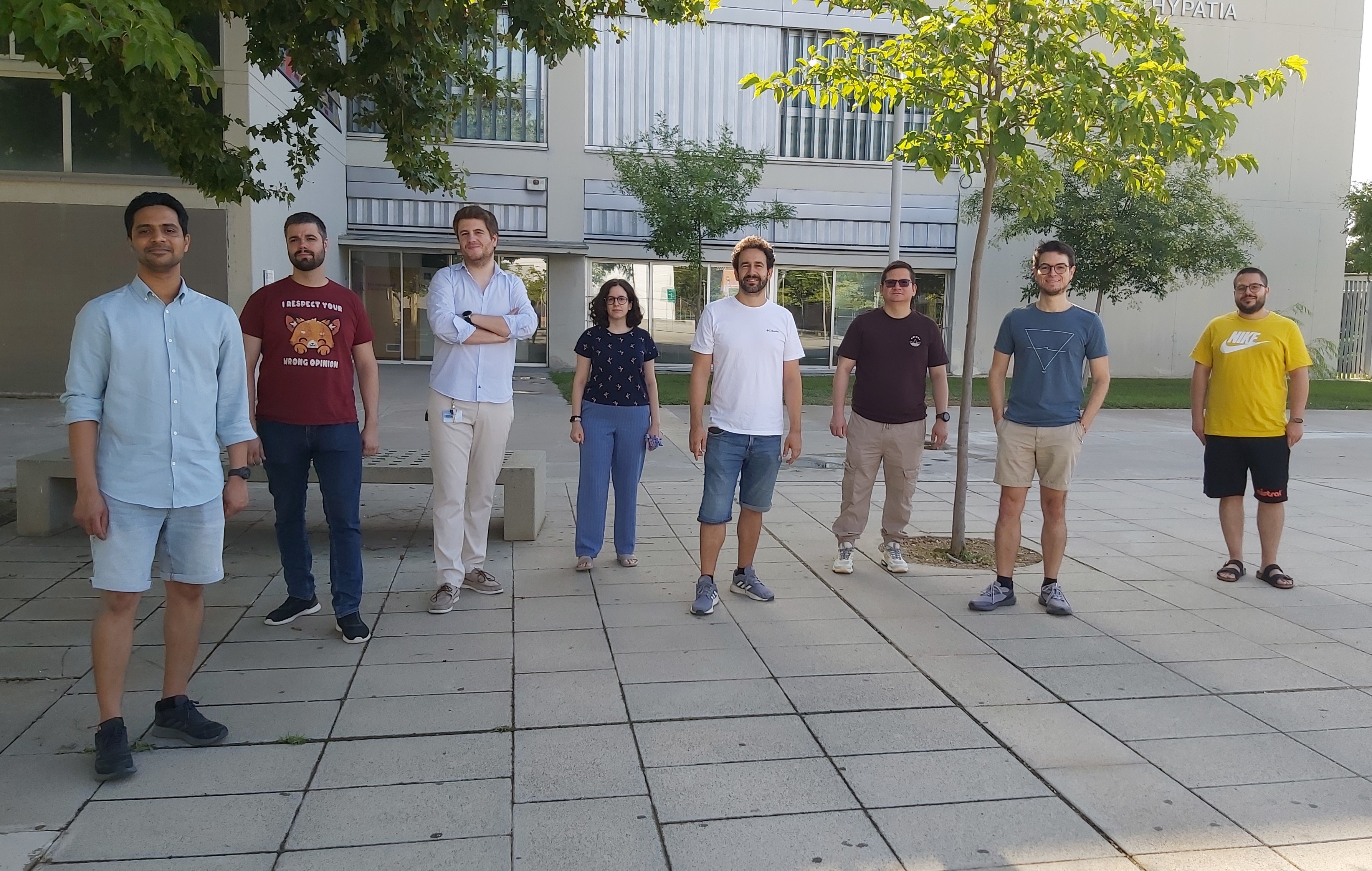
This line of research, called EFHERA (Enhancing after-Fire Hydrological and Environmental Recovery of Agroforestry zones), aims to facilitate hydrological and environmental recovery after large forest fires (GIF) and encompasses several projects funded by the I3A (Aragon Engineering Research Institute) and the University of Zaragoza. The Computational Hydraulics - Fluid Dynamic Technologies (GHC-TFD) and Advanced Information Systems (IAAA) research groups of the I3A, together with the Soil and Water Erosion and Evaluation group of the Aula Dei Experimental Station (EEAD-CSIC) and the Simulation and Data Laboratory Terrestrial Systems group of the Jülich Supercomputing Center (Germany) are working on it.
Forest areas affected by large fires suffer rapid degradation processes in the months immediately after the fire due to heavy rains, which cause the loss of the fertile soil layer. "If the recovery and management measures that are put in place are not correct or are not carried out quickly enough, the agroforestry recovery of the area may take a long time or may not even be completed," explains Sergio Martínez-Aranda, a researcher in the Fluidodynamic Technologies group at the I3A.
The computational platform they are working on will make it possible to quickly assess the areas where water erosion will potentially be greatest in large areas of mountainous terrain. "We are talking about large areas of land, in the order of tens of thousands of hectares, and because it is so large it is impossible to act simultaneously over the entire terrain and also to do so quickly in the months following the fire," says Sergio Martínez. This hydrological simulation platform will be designed to provide support to those services and public administrations that have to take decisions on post-fire action. The ultimate goal is that the decisions to restore the burned area "are not only made from the experience of those who know the terrain well, but that we provide them with computational models that facilitate this work with quantifiable data," says the I3A researcher.
These research groups are analysing how to combine Sentinel satellite imagery and hydrodynamic computational models to enable high-resolution analysis of long-term erosion processes. They will be able to obtain useful information on soil mobilisation, trajectories followed by sedimentary material and areas of deposition, which are essential for the intelligent design of agricultural practices and restoration measures to prevent soil loss. This ensures that the proposed actions are adequate to minimise soil loss and reduce contamination of surface water bodies under different agroforestry scenarios, especially after forest fires.
The EFHERA research line refers to a scenario of accelerated climate change, where this post-fire degradation process is occurring faster and faster. Hence, the need to implement protection and recovery measures in the first weeks or months after a fire. "If we add to this the appearance and proliferation of massive fires that affect huge forest areas and make it impossible to carry out post-fire actions simultaneously throughout the affected area, the recovery of burned areas can only be approached through exhaustive and orderly planning", the project's research groups point out.
Its objectives include analysing and predicting soil loss in large-scale, long-term surface processes; quantifying the strength of erosion associated with rainfall; and developing an artificially intelligent algorithm to characterise soil parameters based on satellite images from the Copernicus EU programme. All developments will be taken to a state-of-the-art open source hydrodynamic simulation software developed between the I3A and the JSC, which is being evaluated on the JUWELS supercomputer, one of the best systems in the world belonging to the European Tier-0 HPC infrastructure, at the Julich Supercomputing Center (JSC) in Germany, to assess the capabilities in addressing large-scale and long-term spatially distributed soil loss predictions.
This simulation platform aims to support rigorous analysis of water and soil resources by the scientific community, as well as informed management of agricultural activity and forest conservation by administrations to meet the challenges of climate change. They will also open up novel Earth System Modelling (ESM) utilities, with applications ranging from the design of urgent mitigation measures to prevent erosion to the analysis of vegetation cover.
The research line has several projects under development
- High Performance Computing Tools for Smart Agriculture and Forestry (JIUZ2022-IAR-03)
Period: abril 2023 – marzo 2024
Funding: Universidad de Zaragoza
Researcher in charge: Sergio Martínez-Aranda
- Computational tools and optimization strategies through Artificial Intelligence for the prediction of hydro-morphodynamic risks and Climate Change scenarios. (PREDICTHIA)
Period: septiembre 2023 – septiembre 2026
Funding: Proyectos Generación de Conocimiento 2022 – Ministerio de Ciencia e Innovación
Researcher in charge: Pilar García-Navarro
- Artificial Intelligence and Satellite Imagery to reformulate Hydro-Erosive Computational Models with application to soil loss after massive wildfires
Period: Sept. 2023 – Sept. 2024
Funding: Instituto de Investigación en Ingeniería de Aragón (I3A-UniZar)
Researcher in charge: Sergio Martínez-Aranda
- Enhancing after-Fire Hydrological and Environmental Recovery of Agroforestry zones (EFHERA) – 2ª fase de evaluación del INTERREG SUDOE 2021-2027
Period: 2024 - 2027
Funding: Unión Europea
Researcher in charge: Sergio Martínez-Aranda
Reference articles
S. Martínez-Aranda and P. García-Navarro, “Efficient Simulation Tools (EST) sediment-laden for shallow flows,” in Modeling of sediment transport, Intechopen limited, london. isbn: 978-1-80355-868-4, 2022
https://www.intechopen.com/chapters/84108
J. Fernández-Pato, S. Martínez-Aranda, and P. García-Navarro, “A 2D finite volume simulation tool to enable the assessment of combined hydrological and morphodynamical processes in mountain catchments,” Advances in water resources, vol. 141, p. 103617, 2020.
https://www.sciencedirect.com/science/article/abs/pii/S0309170819308334?via%3Dihub
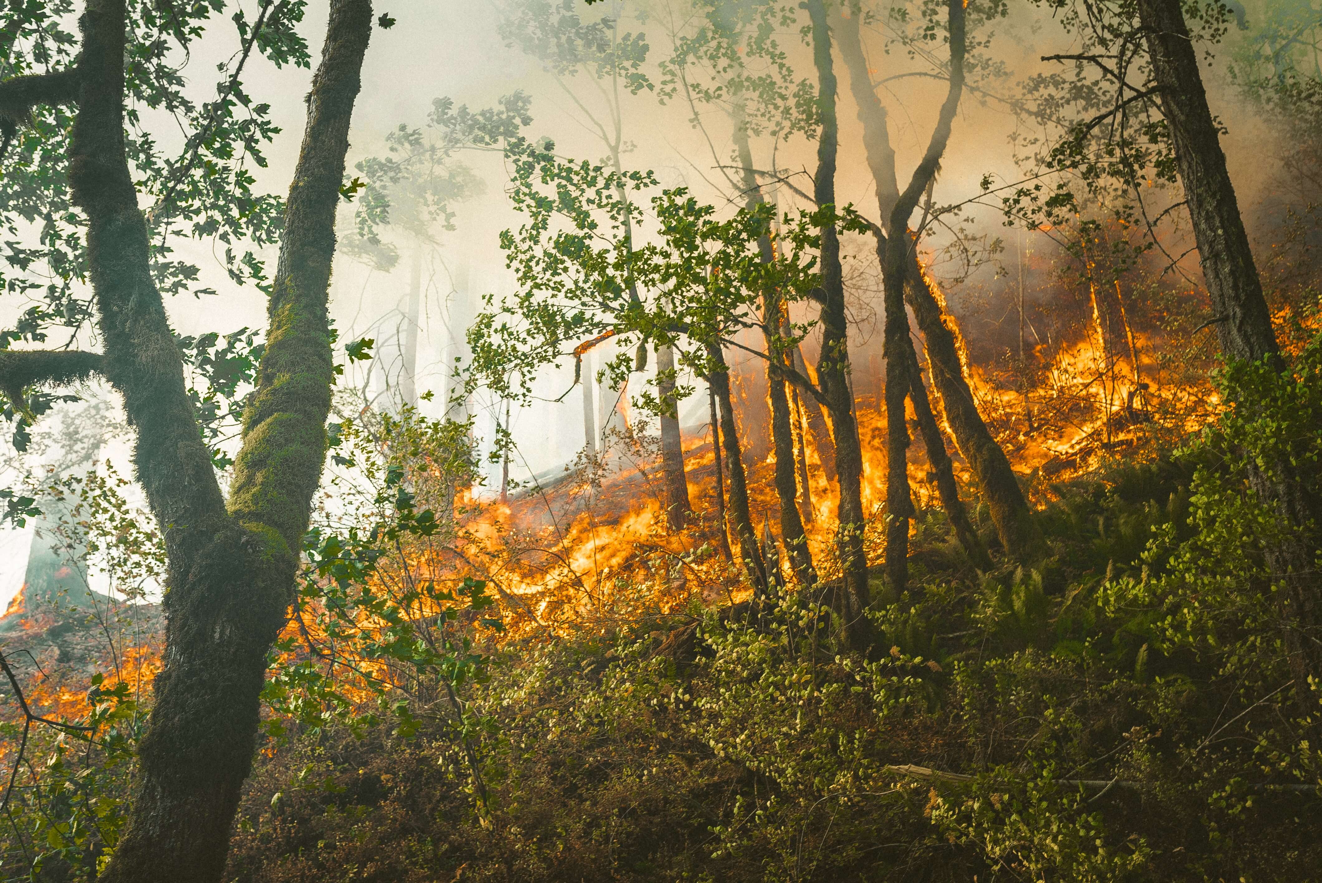
Photography: Karsten Winegeart (Unsplash)
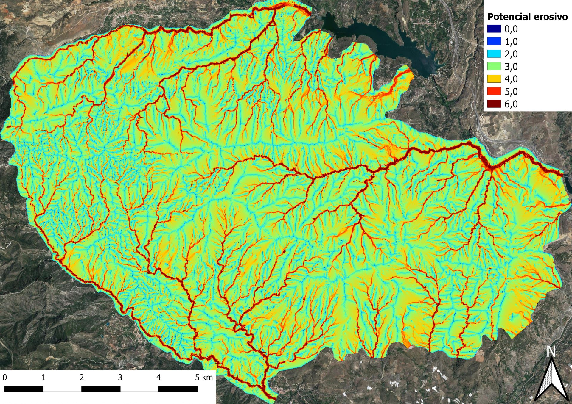
Photo caption:
Erosive potential of the first intense rainfall event on bare soil after the Los Guajares forest fire (Granada), September 2022. The surface area modelled is 10000 Ha (100 km2) and the duration of the event is 4 hours.