The US Department of Energy's Office of Science has allocated access to supercomputers to a total of 75 computational science projects by 2024 through its Innovative and Novel Computational Impact on Theory and Experiment (INCITE) programme. A call that offers research groups around the world the opportunity to achieve transformative advances in science and technology with large allocations of computing time on the world's most powerful computers at Argonne and Oak Ridge National Laboratories.
The researcher Mario Morales, from the Fluidodynamic Technologies group of the Aragon Institute for Engineering Research (I3A Unizar) is the Co-PI of one of these 75 high-impact projects, in the field of Earth Sciences, in which they will create "A high-resolution, large-scale, climate-based flood modelling framework". To do this, they have 750,000 hours of computing power on Frontier, the most powerful computer in the world, and the only exascale computer (1018 operations per second), which, as the researcher himself explains, "can give a very big boost to our work, because it allows us to perform advanced large-scale flood risk simulations with key data for future planning and long-term mitigation".
The project led by this I3A researcher at the University of Zaragoza addresses the challenge posed by climate change, which is intensifying the frequency and magnitude of extreme rainfall events. Although research groups have certain tools and data at their disposal, these are insufficient to effectively address the growing threat of large-scale flooding.
Flood simulation in this project is based on the integration of atmospheric, hydrological and hydrodynamic models in a format that is not normally available to decision makers. Large-scale, high-resolution modelling capabilities are needed to understand and manage flood risk, a task that has always been a challenge due to its high computational cost and technical complexity.
The innovative approach of this project lies in the use of a flood analysis based on historical and future climatic conditions, which will generate probabilistic, high-resolution flood maps. This will identify vulnerable locations, propose infrastructure improvements and optimise emergency preparedness and response, providing a more complete and accurate picture for long-term planning and flood risk reduction.
Research team:
Principal Investigator: Sudershan Gangrade, Oak Ridge National Laboratory
Co-Investigators: Shih-Chieh Kao, Oak Ridge National Laboratory; Mario Morales-Hernandez, I3A-University of Zaragoza; Ganesh Ghimire, Oak Ridge National Laboratory; Michael Kelleher, Oak Ridge National Laboratory; Matthew Norman, Oak Ridge National Laboratory.
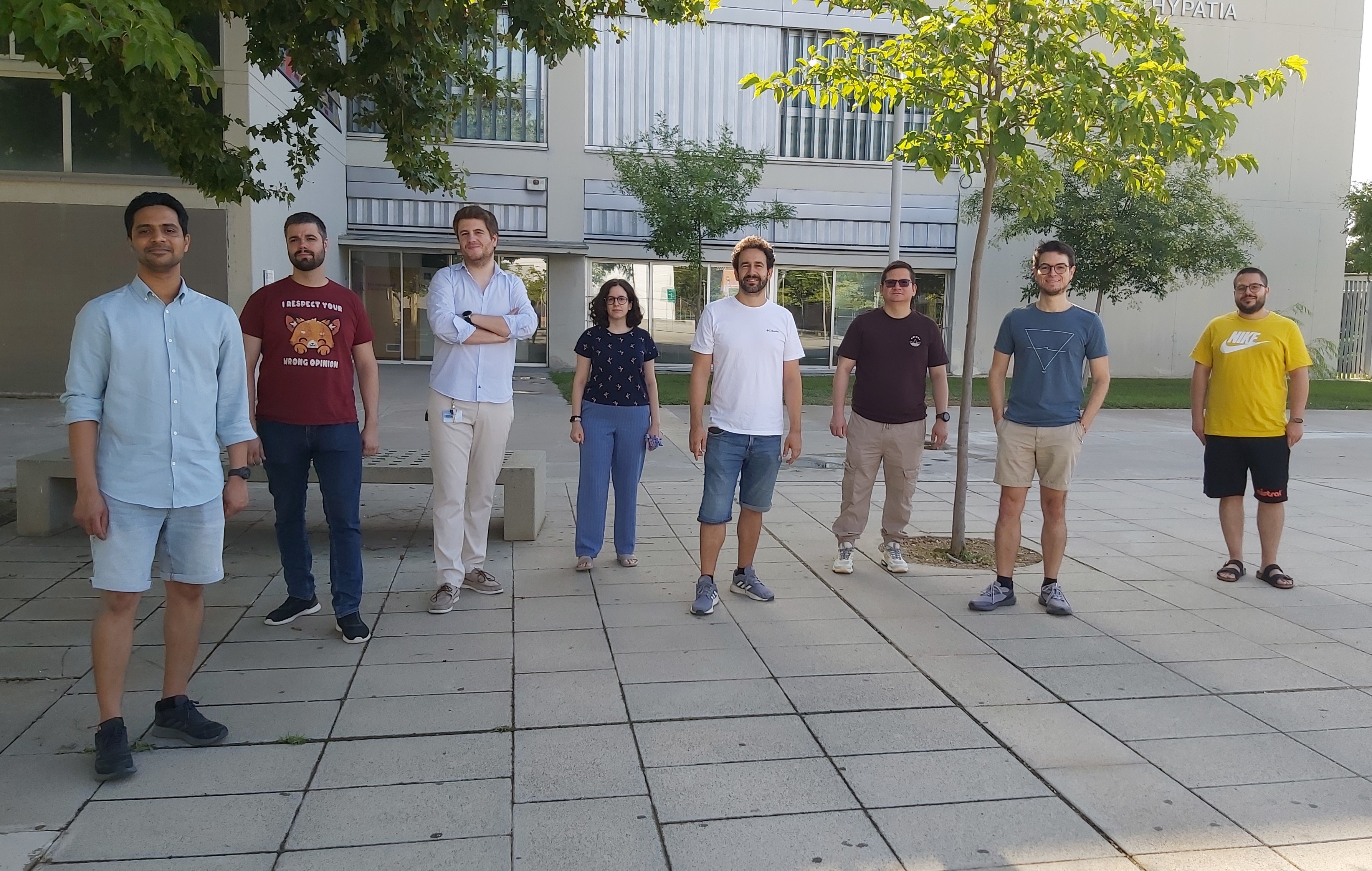
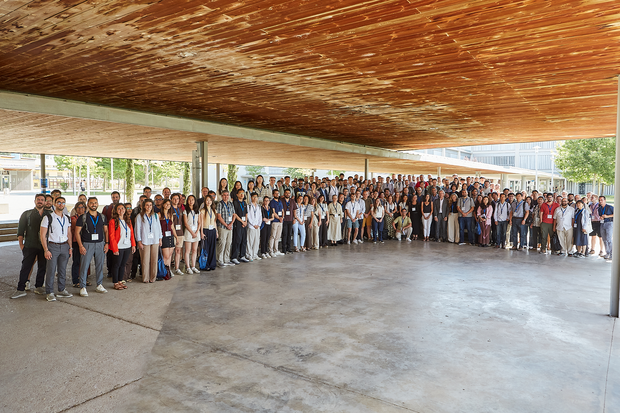
Photography: Mario Morales (first from the right), together with the rest of the team.